MaluSim Carbohydrate Model for April 26

Here is the MaluSim simulation for April 26 (pdf) that I presented at the In-depth Fruit School in Winchester last night. As you can see from both the weather data and the simulation, it looks like the next 3-day period where there is a carbohydrate deficit will be next week. Chemical thinners applied at the earlier end of the deficit will likely have more activity than those applied over the weekend. Since the model predictions are only as good at the forecast data that are used as inputs, it is be important to keep an eye on the temperatures towards the end of next week. I’ll run another simulation on Monday. In previous years, the model has shown that carbohydrate deficits of less than -60 g CHO/day can cause over thinning.

As I discussed last night, the MaluSim model should be used as another tool in the toolbox for understanding the interaction between environmental conditions (primarily temperature and sunlight) and thinning. At this point in time, the model is not able to predict the actual amount of thinning you can expect for any given application. But it does provide some indication as to whether to expect greater or lesser activity from your thinning chemicals.

Please let me know how you are using this information for making management decisions. In future years, we hope to be able to further refine the model to account for more specific inputs (for example, cultivar, crop load, frosts and other physiological stresses). Your input will help us understand how the model is being used and how we can increase its utility.

In the linked pdf file, I also include data on the current fruitlet size for several varieties that we grow at the AREC (fruitlet sizes listed on the simulations are for Empire, which is the standard tree used for the model).

Also included is a slide on year to date data on precipitation. Despite some rains last week and over the weekend, soil conditions are still abnormally dry.
MaluSim Carbohydrate Model for April 23

I ran the MaluSim model again today, April 23 (pdf). As you can see from the simulation within the pdf file, we are predicted to have a fairly significant carbohydrate surplus over the next week. This is the result of the forecasted cold temperatures for next ten days.

This data suggests that you can expect an average to below average response from thinning chemicals applied over the next week. In orchards with little to no frost damage, growers may want to increase their rates or add adjuvants, such as oil, to the tank. With the cool weather, fruitlets growth rate has significantly slowed, so there might be another opportunity to thin early next week before fruitlets become too large. Otherwise, orchards that need additional thinning beyond the 12 mm fruitlet size may be treated with ethephon (or ethephon +/- carbaryl +/- oil) up until about 25 mm.

Fruitlets measured at the AREC today were within the size range (8-12 mm) that is typically recommended for fruit thinning:

Empire = 11.7 mm  |  Red Delicious = 10.0 mm  |  Golden Delicious = 8.8 mm

I will continue to run the MaluSim model until chemical thinning is no longer a viable option in the Winchester area.

MaluSim Carbohydrate Model for April 19

I ran the MaluSim model today (4/19 pdf). Despite the low-light conditions that are expected with this weekend’s cloudy weather and rain, the predicted cooler temperatures will allow plants to maintain a relatively high carbohydrate status. With the MaluSim model, this is depicted as a numerically positive carbohydrate balance. Based on the current weather forecasts (I checked several and also ran a MaluSim simulation using National Weather Service data) we can expect an average to below average response from chemical thinner applications that are put on tomorrow (Friday) through the early part of next week. In blocks with no or minimal frost damage, this would suggest that you can increase your rates, or add an adjuvant, such as oil to increase thinning activity. In blocks with frost damage some additional thinning may result and you may want to reduce rates.

Many varieties are approaching 10 mm size; however, the model is not showing a good “thinning window” over the next 10 days. Fruitlet growth may slow down over the next few days with the cooler temperatures, but it is unclear if we will have warmer temperatures and a better window towards the end of next week. I’ll run another MaluSim simulation again early next week.

MaluSim Carbohydrate Model for April 16

Earlier today, I ran the MaluSim Carbohydrate Model for Winchester. I used actual data from the meteorological station located at the AREC and forecast data from www.intellicast.com and the National Weather Service (NWS). The two forecasts produced reasonably similar carbohydrate balance simulations, so I just show the simulation using the intellicast forecast in the pdf. Also, intellicast provides ten-day forecasts for both temperature and cloud cover, while the NWS only provides a seven-day temperature forecast, with only five-day forecasts for cloud cover data.

This brings us to an important point that I’ve discussed before (and others have discussed about other weather-forecast dependent models), which is that the predictions of future carbohydrate balance are only as good as the weather forecast data that are used as inputs. Many weather forecasts are fairly reliable for three to five days and then lose reliability the further into the future they try to predict weather conditions.  The take home message is that the conditions may change by the time we get to the 10 mm fruitlet size on many cultivars. I will continue to watch the weather and will try to run another MaluSim simulation towards the end of this week.

Nonetheless, the model is showing that there is not going to be a very severe carbohydrate surplus nor deficit over the next ten days. This means that you can expect an average or “normal” response from your chemical thinners. At the AREC, some cultivars will probably reach 10 mm this weekend or early next week. Areas to the south may already be at or beyond that size.

By now, you should be able to assess damage from the March 27 freeze. In fact, the damaged fruit has probably already fallen off the tree. If not, damaged fruit can be identified as having a red stem and being easily detached from the cluster. There seems to be a fairly large difference in damage between just a five or 10-foot change in elevation. In some blocks, this might mean using different rates on different rows, or turning on or off the sprayer as you drive up and down hills.

April 12 Breakfast Meeting Slides — Winchester

I’ve uploaded the slides that I presented at the Breakfast Meeting at the AREC on April 12. The slides include the MaluSim carbohydrate model that I ran for Winchester on April 11. The model is dependent upon local weather data, so it may have minimal relevance for conditions in other parts of the state. The model is best used to predict the activity of thinning chemicals immediately after they have been applied. In other words, the future prediction of carbohydrate balance is more important than what the model shows for the past carbohydrate balance. I’ll run the model again early next week as we get closer to the 8-12 mm fruitlet size.

I also show data for fruitlet sizes at the AREC, and rainfall to date. Needless to say, the soil is already very dry and newly planted trees should be irrigated as soon as possible to reduce transplant shock. In Winchester, there’s only a minimal chance of rain predicted for the next 10 days.

Frost Damage

At our lab in Winchester, we got down to 28F for 2 hours this morning between 6 and 8 AM. I’m seeing damage to king bloom in early blooming apples, but side blooms look like they’ll fair much better. However, I’ve been hearing reports down to 25F in some orchards, with much worse damage. Sweet cherries were in full bloom, and many petals are showing damage. Peaches were past petal fall, and the trees in the lowest area on our farm are probably going to loose some fruit.

It’s going to be a difficult thinning year if we loss a large percent of the king bloom…Unfortunately, we still have about a month where we can potentially have another frost…

 Sweet cherries–more damage on the tops of the branches, than on the bottom, where there still might be some viable flowers.


Frost damage to king and some side bloom in Pink Lady. This tree was at the lowest area of the block. Unopened side bloom appeared to have minimal damage, but it’s still early to quantify the damage.

There appeared to be less damage to this Red Delicious flower with the king bloom open and side bloom still closed.

National Weather Service Issues Freeze Alert

The National Weather Service is now predicting temperatures to go to at least 29F in many of the fruit growing regions in Virginia early Tuesday morning. If you have frost protection machines or burners, spend some time tomorrow to make sure they are operational and properly placed throughout the orchard.

See my previous post for the critical temperatures at which damage occurs for the main tree-fruit crops.

Early bloom and potential frost damage

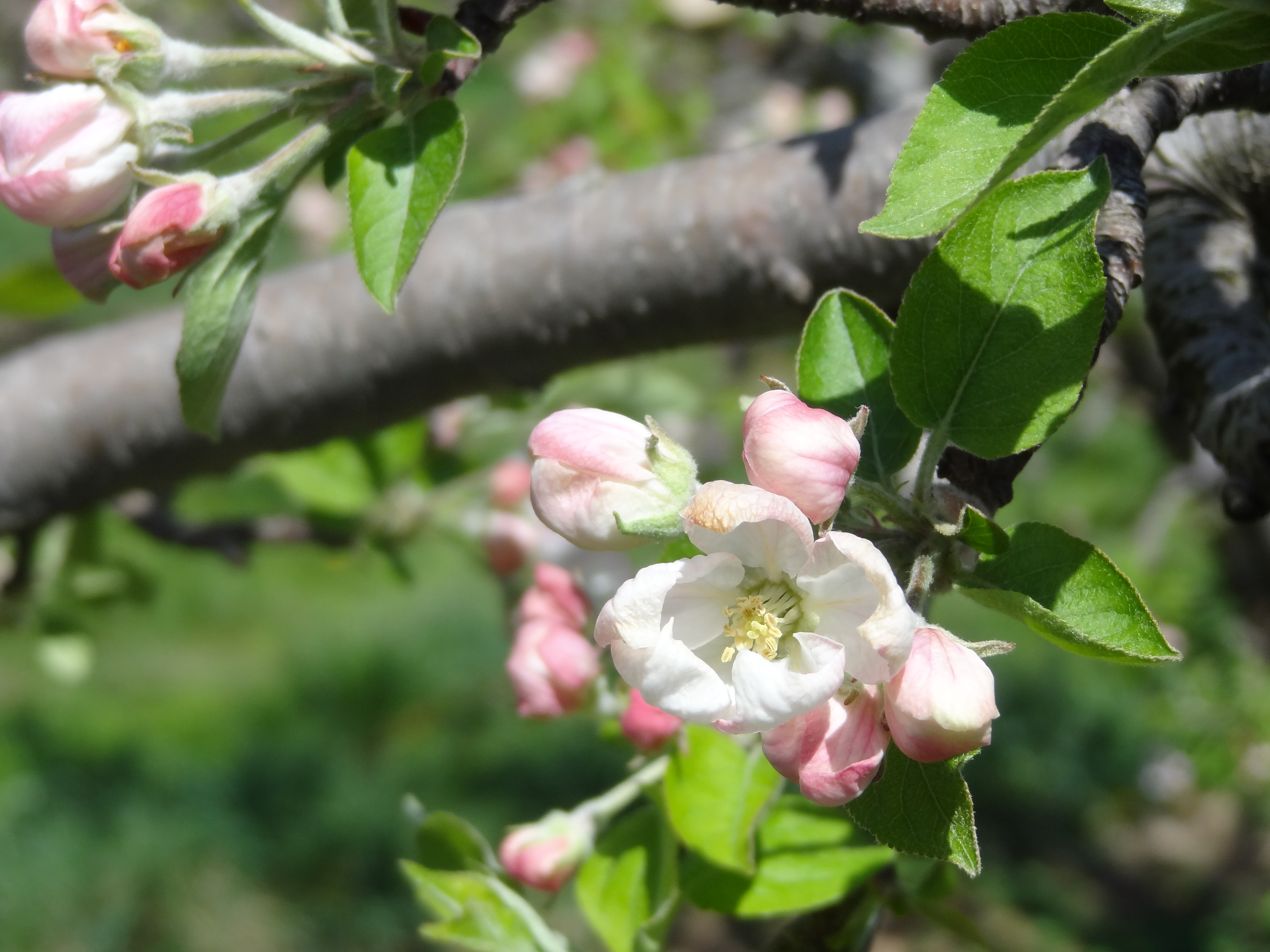
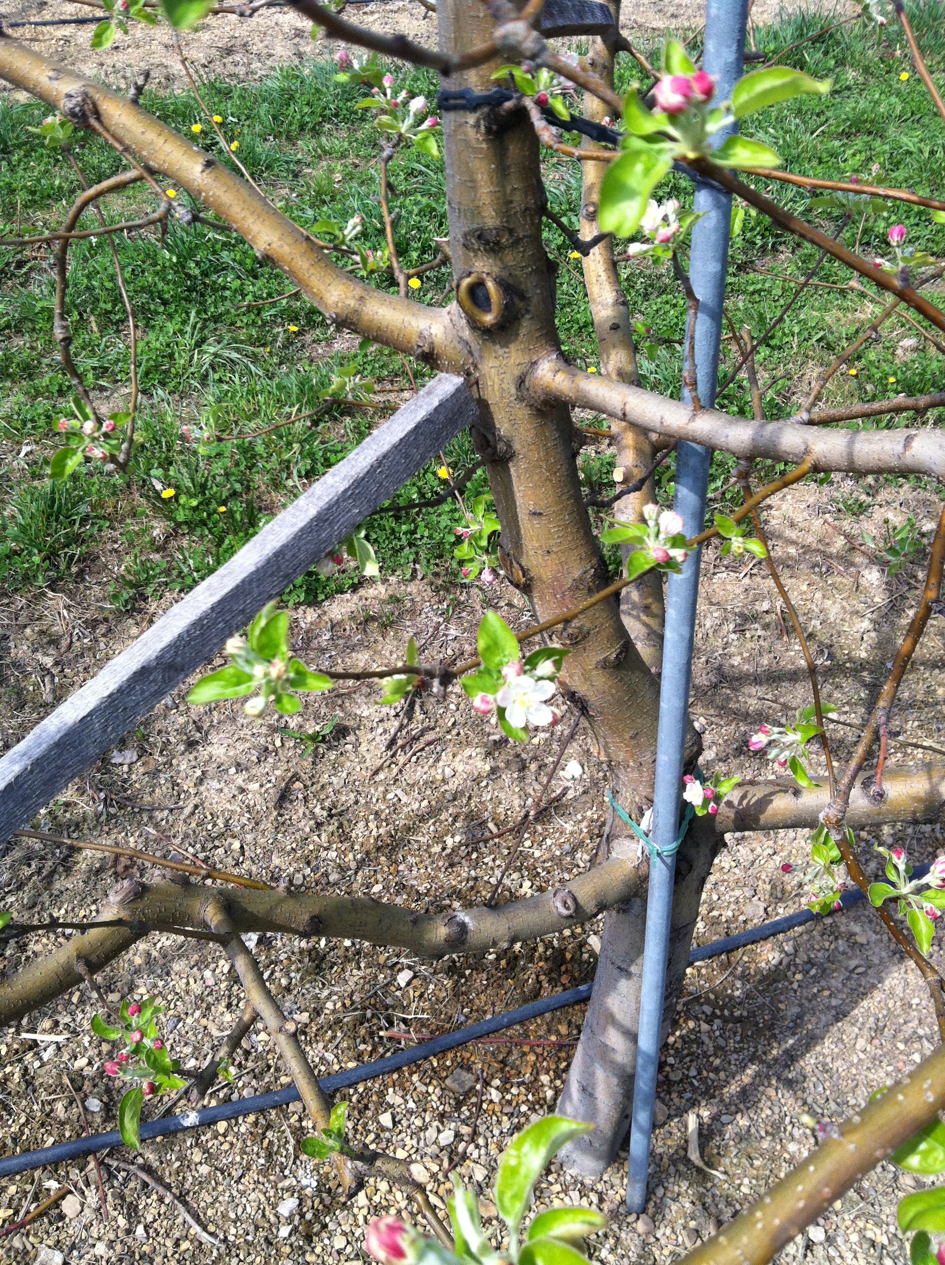
We are easily three, and maybe four weeks ahead of “average” bloom dates in the Winchester area. Apples flower buds are ranging from tight cluster (Fuji) to open cluster (Red Delicious) to about 10% bloom open (Pink Lady). Peaches are at full bloom to petal fall. Cherries are at first bloom.

Pink Lady–10% bloom open.

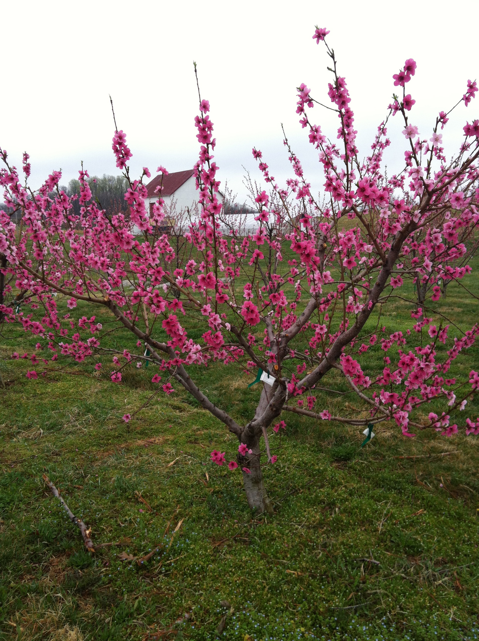
Sweet Breeze peach — full bloom

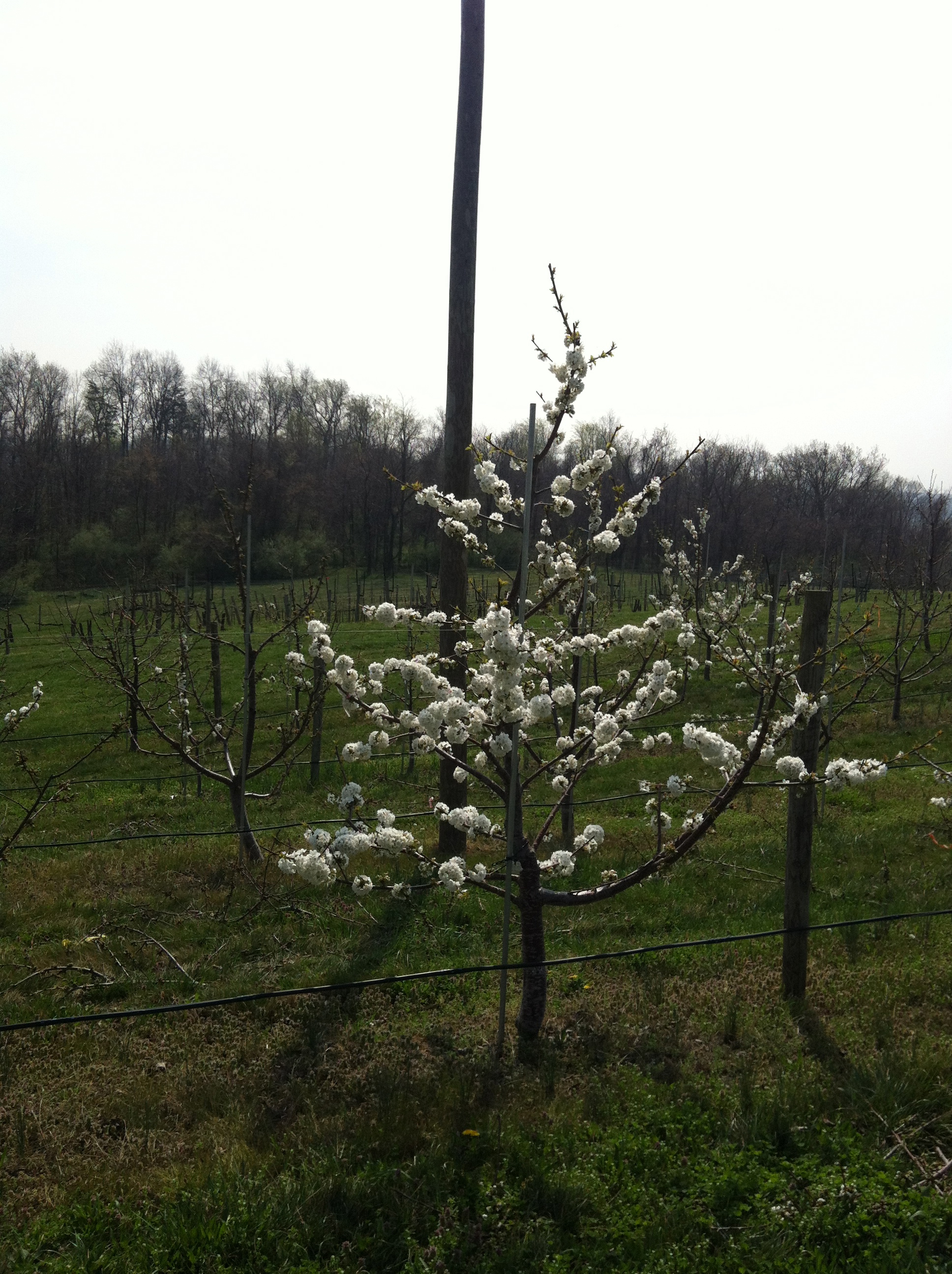
Sweetheart/G.12 sweet cherry — full bloom

The National Weather Service is forecasting a potential low of 34F on Monday night (Tuesday morning) and a potential low of 38F on Tuesday night (Wednesday morning). If you have areas that are known frost pockets (low areas with minimal or no air drainage) in your orchard, the temperatures may be closer to the freezing point.

However, these temperatures should be above the critical temperature for damage. Apples in tight cluster to first bloom should be able to withstand temperatures down to 27 or 28F until there is a 10% kill, and down to 21F for tight cluster and 24-25F for pink to full bloom until there is a 90% kill.

Peaches in full bloom to petal fall can withstand 27-28F until there is a 10% kill, and down to 24-25F until there is a 90% kill.

Cherries in first to full bloom can withstand 28F until there is a 10% kill, and down to 25F until there is a 90% kill.

Pears in first to full bloom can withstand 27-28F until there is a 10% kill, and down to 23-24F until there is a 90% kill.

Nonetheless, it’s going to be a long time until we get through the last potential frost occurrence. The NOAA cites April 23 as the day beyond which we have only a 10% chance of having a temperature below 28F. You can look up other locations, temperatures , and percent chances for a frost occurrence here: NOAA Freeze/Frost Occurrence Data.

Here are pdf links for the Washington State University fact sheets on the critical temperatures for flower buds:

Michigan State University has adapted the WSU critical temperature fact sheets into this easy to read fact sheet.

Proposed Schedule for 2012 Orchard Meetings in Central Virginia

Contact: Michael LaChance
email: lachance@vt.edu
Nelson County Office
P.O. Box 298
8445 Thomas Nelson Hwy.
Lovingston, VA 22949
Tel 434-263-4035

Drs. Yoder, Pfeiffer, Bergh, and Peck have shared their available dates so we can be assured that two or more of these resources will be present.

  • April 3 HENRY CHILES / CROWN ORCHARD (Packing Facility in Covesville)
  • April 17 RICHARD SEAMAN & CARTER PARR / SEAMAN ORCHARD
  • May 1 JOHN & TOM BRUGUIERE / DICKIE BROS. ORCHARD
  • May 15  KEVIN DRUMHELLER / DRUMHELLER ORCHARD
  • May 29 HENRY CHILES / CROWN ORCHARD (Spring Valley Orchard. Heards Mtn.)